
Spatial vs. Temporal Resolution
🛰️ Spatial vs. Temporal Resolution – What’s the Difference? 🌍
When working with geospatial data and its resolution, two key factors come into play:
🔹 Spatial Resolution – Refers to the level of detail in an image. High spatial resolution means more zoomed-in, detailed views (e.g., drones or high-res satellite imagery), while lower spatial resolution generally cover larger areas but captures less detail, making features appear more generalised (e.g., Sentinel).
🔹 Temporal Resolution – Refers to how often a satellite, aerial platform, or remote sensing system captures images of the same location, measured by its revisit interval. High temporal resolution have frequent updates (e.g., daily revisit systems), while Low temporal resolution have longer gaps between observations (e.g., revisiting every few days or weeks).
🚀 The Trade-Off
High Spatial, Low Temporal → Detailed images but less frequent updates.
Low Spatial, High Temporal → Frequent updates but lower image detail.
Finding the right balance depends on your needs! Need precision for mapping? Go for high spatial resolution. Tracking environmental changes? Temporal resolution is key!
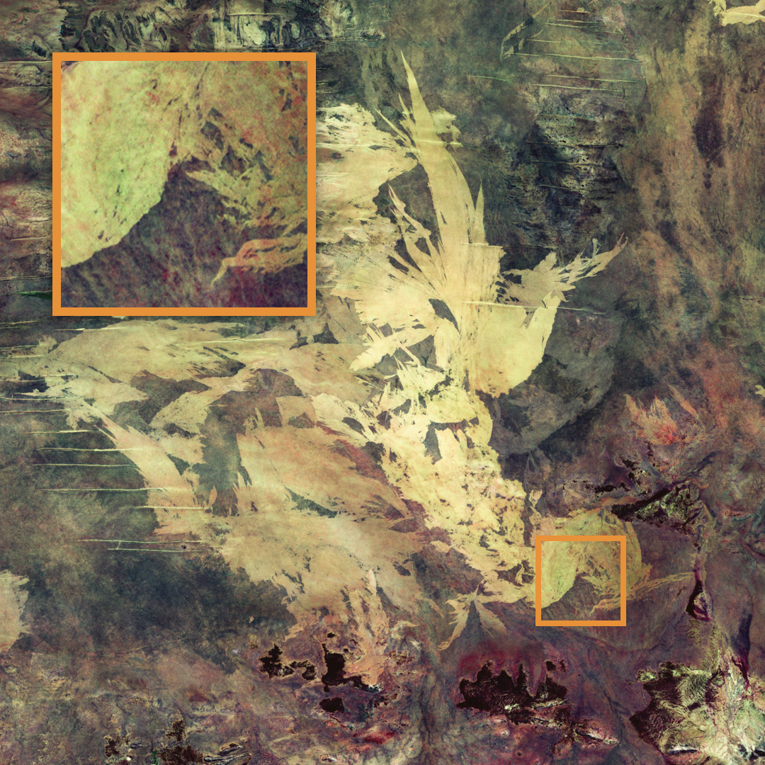
The featured image with its insert is an example of spatial resolution. To learn more about temporal resolution, please see the post we made on that same topic three weeks ago.