
Description
This GeoDataPack of Nelson Mandela Bay local municipality, which includes the city of Gqeberha, combines various DEMSA2 derivatives and is ideal for detailed spatial planning and hydrological modelling.
GeoSmart is currently creating GeoDataPacks for all municipal areas in South Africa.
GeoDataPacks are collections of geospatial datasets tailored for improving decision-making and solving geographical problems. GeoSmart’s GeoDataPacks were collated from various sources and formatted so that they can be used in various software packages, including Google Earth, QGIS, and ArcGIS. The datasets can also be viewed as digital maps.


A dataset of 1 m contours is also available but cannot be visualised at this scale.
File Formats
| Format | Description | File Formats | Coordinate Systems | Resolution/Scale | Software Compatibility |
|---|---|---|---|---|---|
| M | Symbolized Map | PDF, JPG, PNG | N/A | 400dpi | Adobe Acrobat+; Any photo viewer or web browser+ |
| V1 | Raw data | Shape File, KML | WGS84, UTM35S, LO23 | 1 : 2 000 | Google Earth Pro+, ArcGIS, QGIS+ |
| R1 | Symbolized Data | TIFF, GeoTIFF IMG | WGS84, UTM35S, LO23 | 2 m | Google Earth Pro+, ArcGIS, QGIS+ |
| R2 | Raw data | TIFF, GeoTIFF IMG | WGS84, UTM35S, LO23 | 2 m | Google Earth Pro+, ArcGIS, QGIS+ |
+ Free software
Product Specification
TYPICAL DATASETS INCLUDED IN EACH MUNICIPAL GEODATAPACK
| Layer Name | Description | Formats |
|---|---|---|
| Municipal boundary | Boundary of Municipality, obtained from the Demarcation Board of South Africa, used to extract datasets in GeoDataPack | V1 |
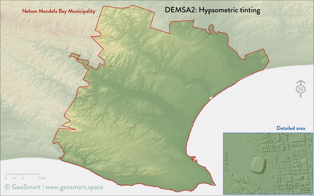
| Elevation | Raw digital elevation model of South Africa DEMSA2* values (i.e. height above mean sea level) that was used to generate the range of derivatives below | M, R1, R2 |
| Contours | 1 m vertical interval contours in vector format with height above mean sea level values as attributes | M, R1, R2 |
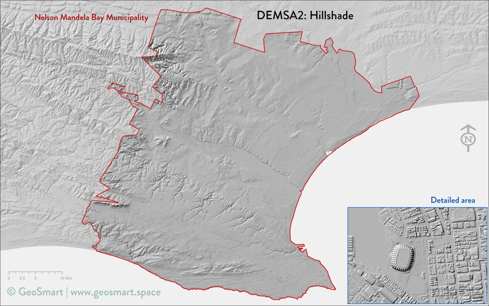
| Hillshade | Artificial illumination, generated from DEMSA2 | M, R1, R2 |
| Hypsometric tinting | Fusion between Elevation and Hillshade | M, R1 |
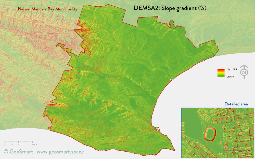
| Slope gradient | Slope gradient in % rise, derived from DEMSA2 | M, R1, R2 |
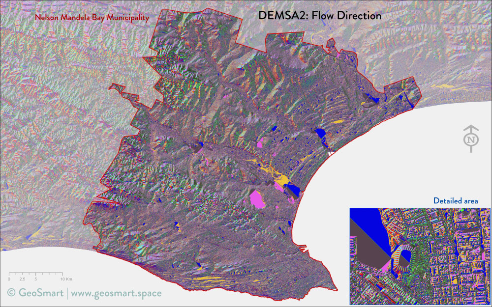
| Slope aspect | Direction of slope, derived from DEMSA2 | M, R1, R2 |
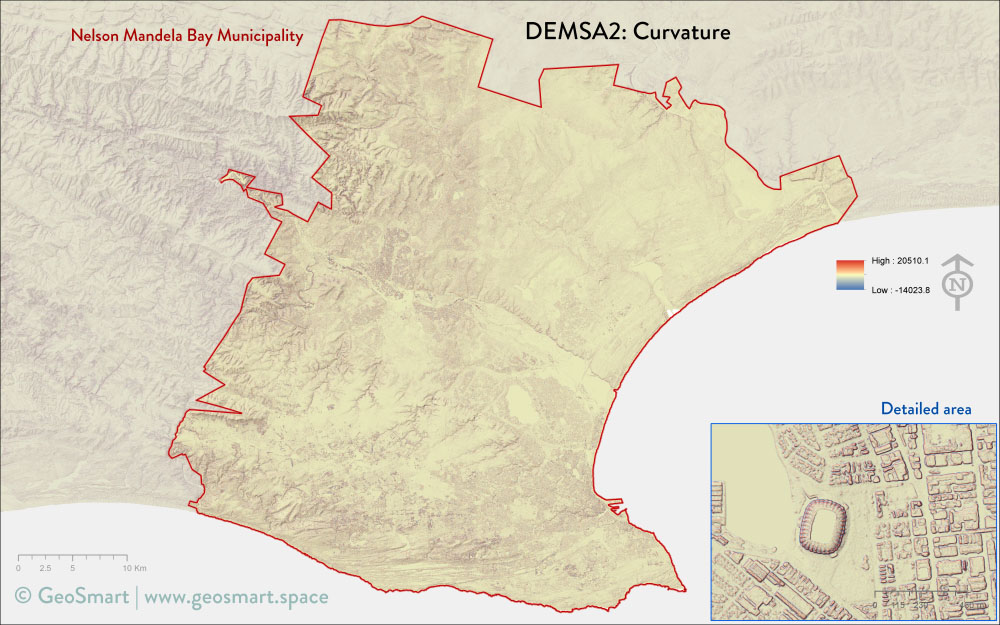
| Curvature | Tangent curvature (concave or convex), derived from DEMSA2 | M, R1, R2 |
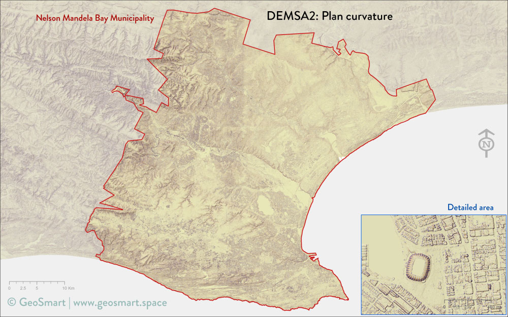
| Plan Curvature | Curvature perpendicular to slope direction, derived from DEMSA2 | M, R1, R2 |
| Profile Curvature | Curvature in slope direction, derived from DEMSA2 | M, R1, R2 |
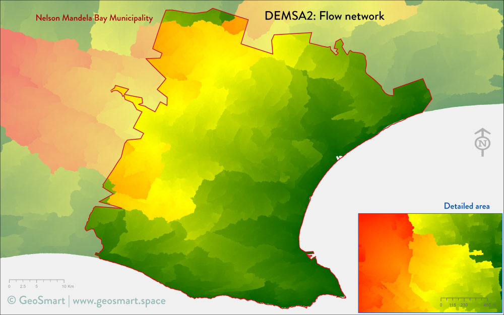
| Distance to nearest drainage | Distance to nearest drainage , derived from DEMSA2 | M, R1, R2 |
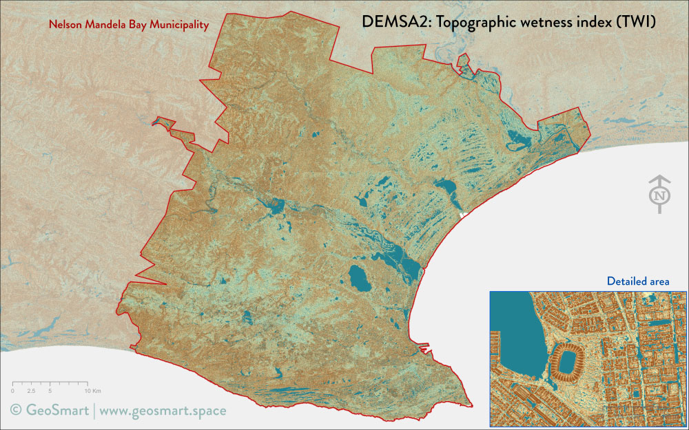
| Topographic wetness index | Modelled soil wetness (based on terrain), derived from DEMSA2 | M, R1, R2 |
| Solar radiation | Modelled annual solar radiation, derived from DEMSA2 | M, R1, R2 |
| Height above nearest drainage | Height above nearest drainage, derived from DEMSA2 | M, R1, R2 |
*DEMSA2 is a 2 m resolution digital surface model (DSM) of South Africa
Pricing
| Package | Price |
|---|---|
| Nelson Mandela Bay GeoDataPack | R100,000.00 |