
Explore Like Never Before
Explore the Garden Route Like Never Before! 🏞️
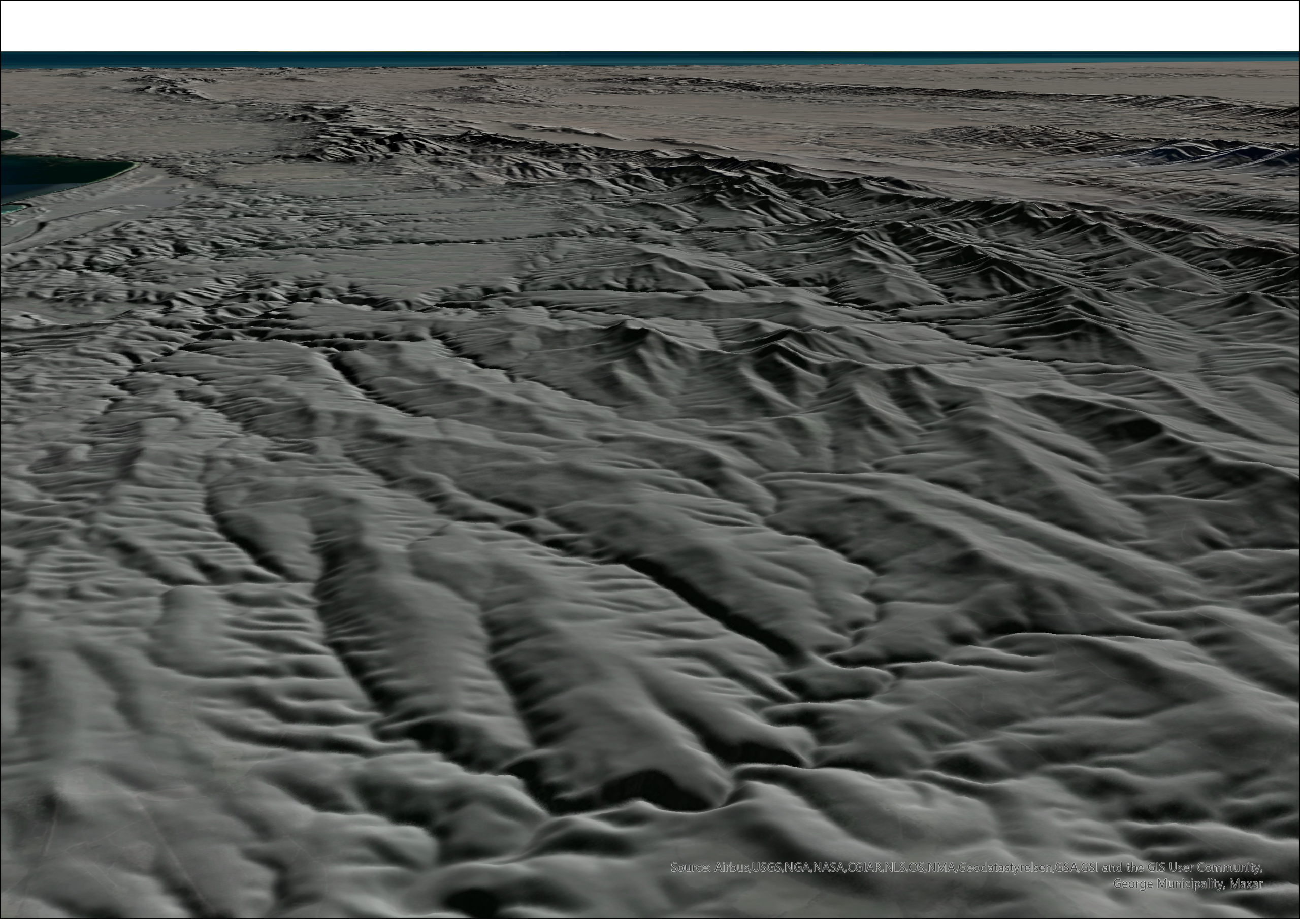
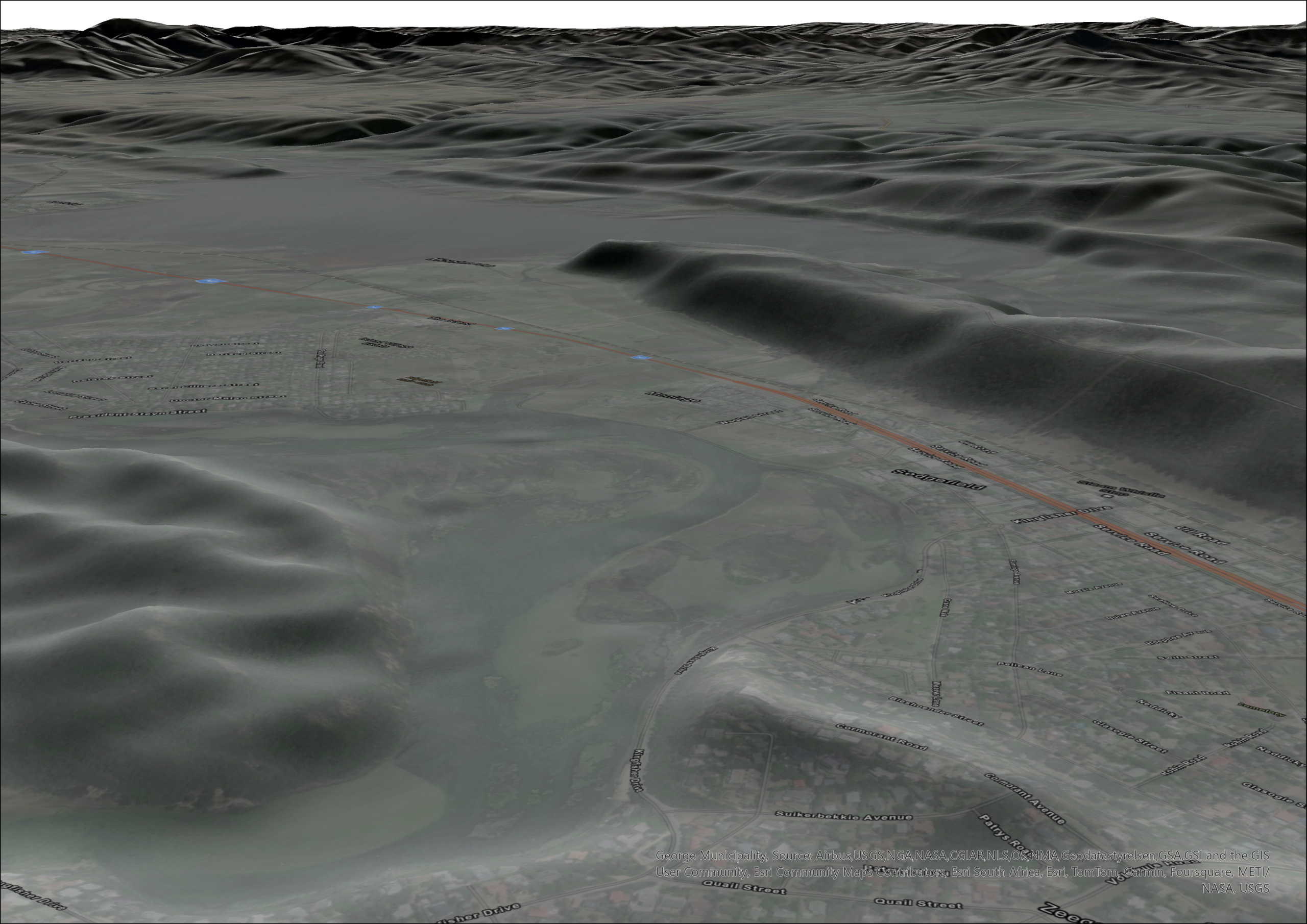
Our high resolution Digital Elevation Models (DEMs) offer a detailed perspective of the stunning Garden Route. Whether you’re working in urban planning, conservation, agriculture, or infrastructure development, precise elevation data is key to making informed decisions.
By utilising our DEMs, you can:
➡ Support Sustainable Development – Ensure infrastructure is built in harmony with the natural landscape.
➡ Improve Flood & Water Management – Use Stream Order Delineation to map water flow and mitigate flood risks.
➡ Enhance Agricultural Planning – Optimize land use by identifying slopes and drainage patterns for better crop management.
➡ Preserve Natural Beauty – Classify land cover to monitor deforestation, erosion, and habitat changes.
🚀 Get access to cutting-edge elevation insights for the Garden Route today and see how technology meets nature to pave the way for informed decision-making.