
GTI: Adding Value to Your Terrain Data
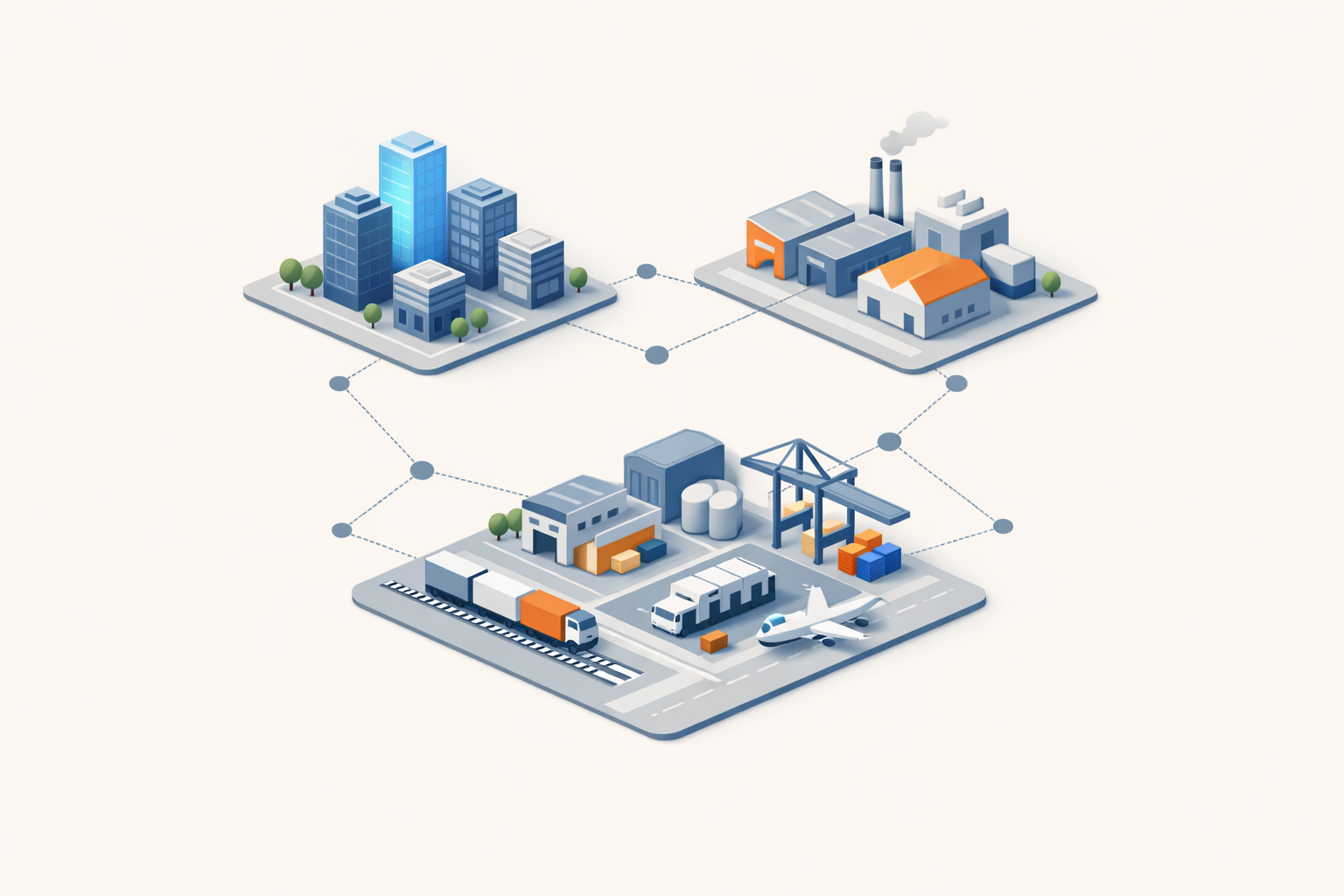
High-resolution elevation data is a powerful foundation, but on its own, it only tells part of the story. While elevation models provide height above sea level, the true value lies in understanding the broader context of the landscape.
By combining GeoSmart’s high-resolution terrain data with GTI’s advanced dataset library, you can transform raw elevation data into meaningful, actionable insights.
Our range of derived terrain products goes beyond standard elevation models, enriching your data with detailed attributes that enhance analysis, improve decision-making, and unlock new opportunities across industries.


Library Overview
- Socio-Economic Data
- Population Analytics
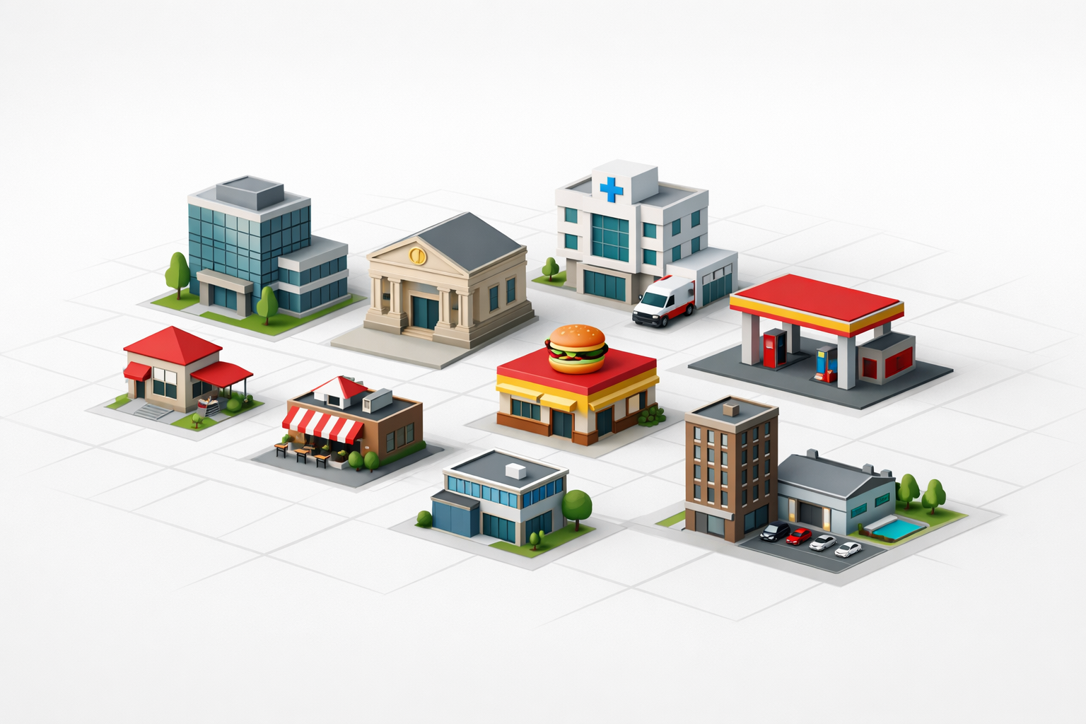
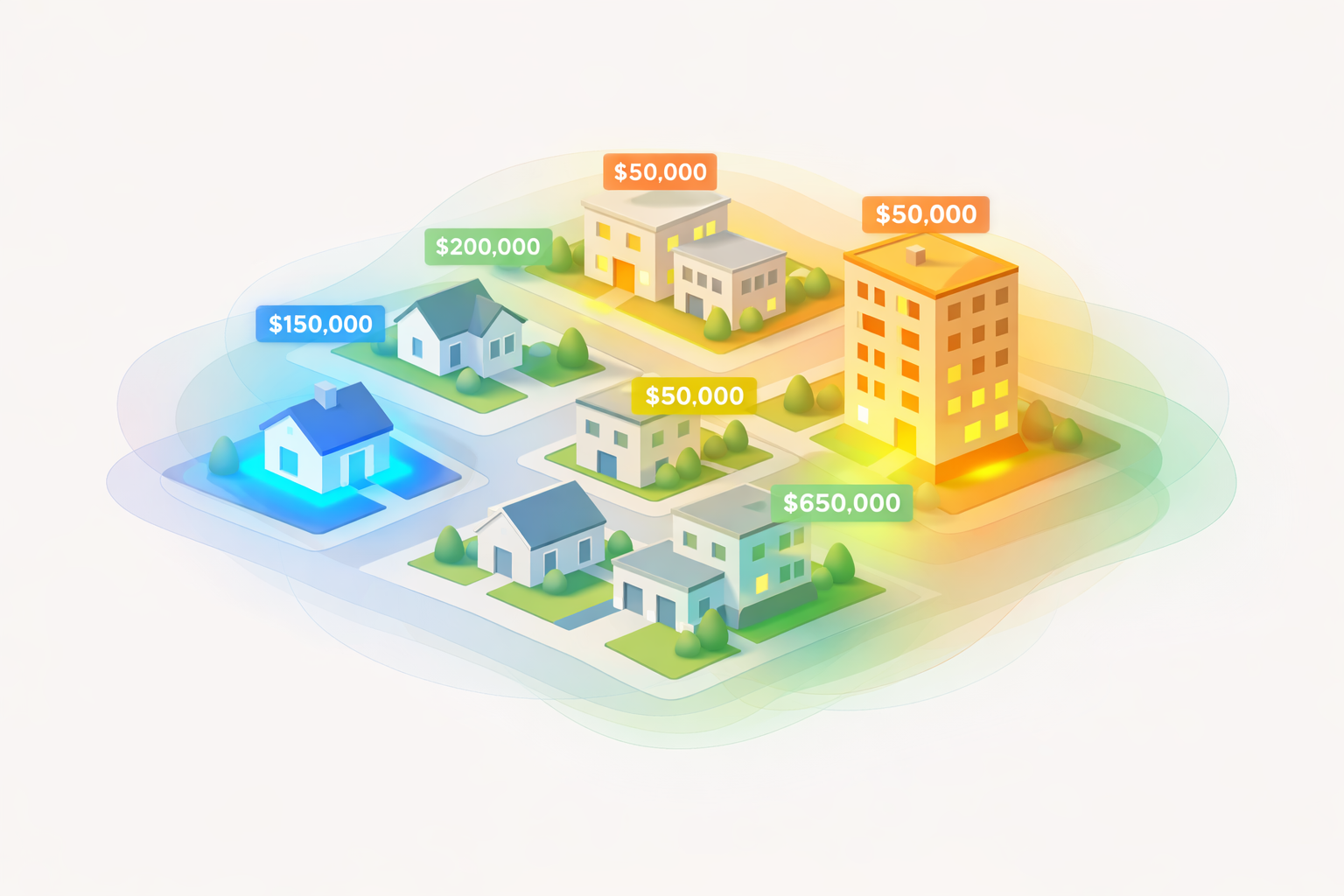
- Urban & Property Data
- Economic Intelligence
- Mobility & Traffic
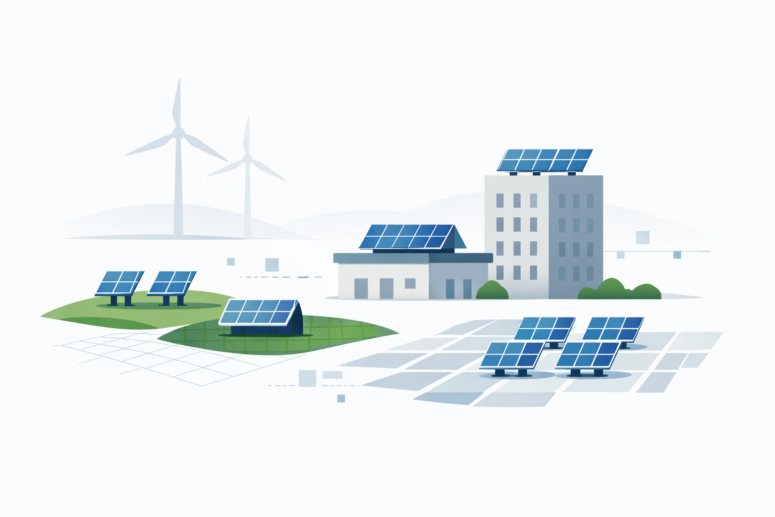
- Energy & Infrastructure
- Environmental Services
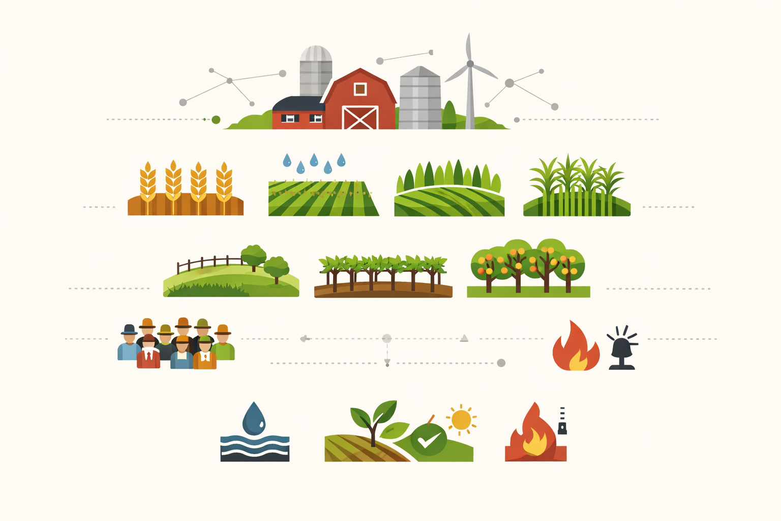
- Agriculture & Mining
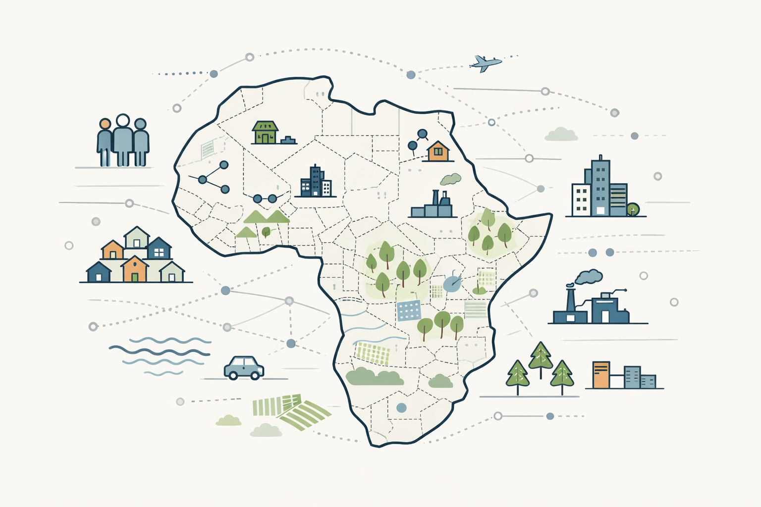
- Regional Data (Africa)
- Digital Platforms & APIs

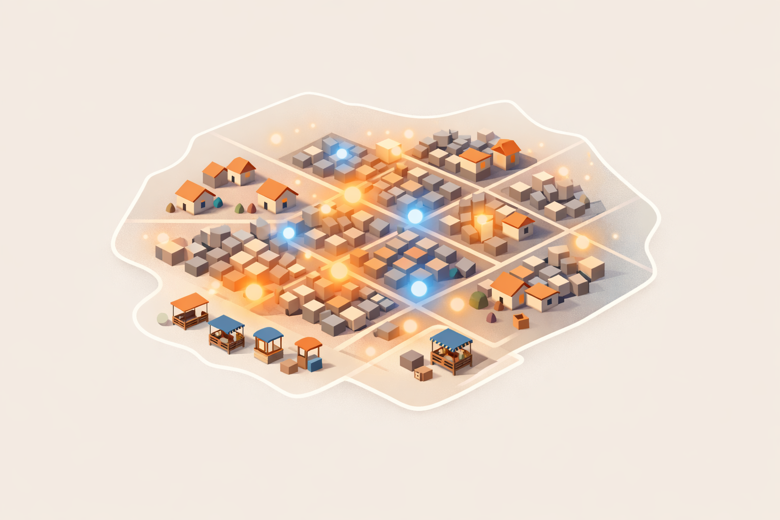
GTI adds value by integrating terrain data with a wide variety of datasets. Whether you’re working in urban planning, telecommunications, energy, agriculture, or infrastructure development, GTI’s enriched datasets provide the depth and context needed to move from data to decisions.
Explore our most popular terrain derivatives and value-added datasets, available as add-ons to your elevation model, and discover how GTI can elevate your analysis.
GTI Dataset Library
| Category | Code | Product | Availability |
|---|---|---|---|
| Neighbourhood, Socio-Economic & Liveability Indices (Lifestyle in Area) | 1.1 | Neighbourhood Lifestyle Index (NLI) | Off-the-shelf / On request |
| 1.2 | Socio-Economic Risk Index | Off-the-shelf | |
| 1.3 | NLI Advanced | Off-the-shelf | |
| 1.4 | Liveability Index | Off-the-shelf | |
| 1.5 | 15-minute Neighbourhoods | On request | |
| Population Data | 2.1 | Population Distribution | Off-the-shelf |
| 2.2 | Demographics Dataset | Off-the-shelf | |
| 2.3 | Advanced Population Dataset | Off-the-shelf (seasonal workers new version on request) | |
| 2.4 | Movement Index | Off-the-shelf | |
| Township Data | 3.1 | Township Boundaries | Off-the-shelf (latest expansion boundaries to be worked in) |
| 3.2 | Township Economy | On request | |
| Statistical Services | 4.1 | Sampling | On request |
| 4.2 | Statistical Analysis & Data Science | On request | |
| Land Use Data | 5.1 | Building Base Land Use (BBLU) – 16 classes | Off-the-shelf as EA summary (point data red flagged) |
| 5.2 | BBLU Detailed – ~90 classes | Off-the-shelf as EA summary (point data red flagged) | |
| 5.3 | BBLU Temporal / Change Detection | On request | |
| 5.4 | Area-based Land Use (Temporal) | On request | |
| 5.5 | Growth Potential Index | On request | |
| 5.6 | Vacant Stands | On request | |
| 5.7 | Land Use Points-of-Interest (POI) | Off-the-shelf | |
| 5.8 | Gated Communities | On request | |
| 5.9 | Informal Settlements | Off-the-shelf | |
| 5.10 | Non officially-surveyed stands | Off-the-shelf | |
| New Developments | 6.1 | New Development Dataset | On request |
| Property Values | 7.1 | National Residential Building Value Index (BVI) | Off-the-shelf (additional attributes on request) |
| Commercial Data | 8.1 | Shopping Centre Index | Off-the-shelf |
| 8.2 | Other Commercial Buildings | Off-the-shelf | |
| Economic Data | 9.1 | Economic Zones | Off-the-shelf / On request |
| Demand Forecasting | 10.1 | Demand Forecasting Dataset (general) | On request |
| 10.2 | Water & Electricity Demand Dataset | On request | |
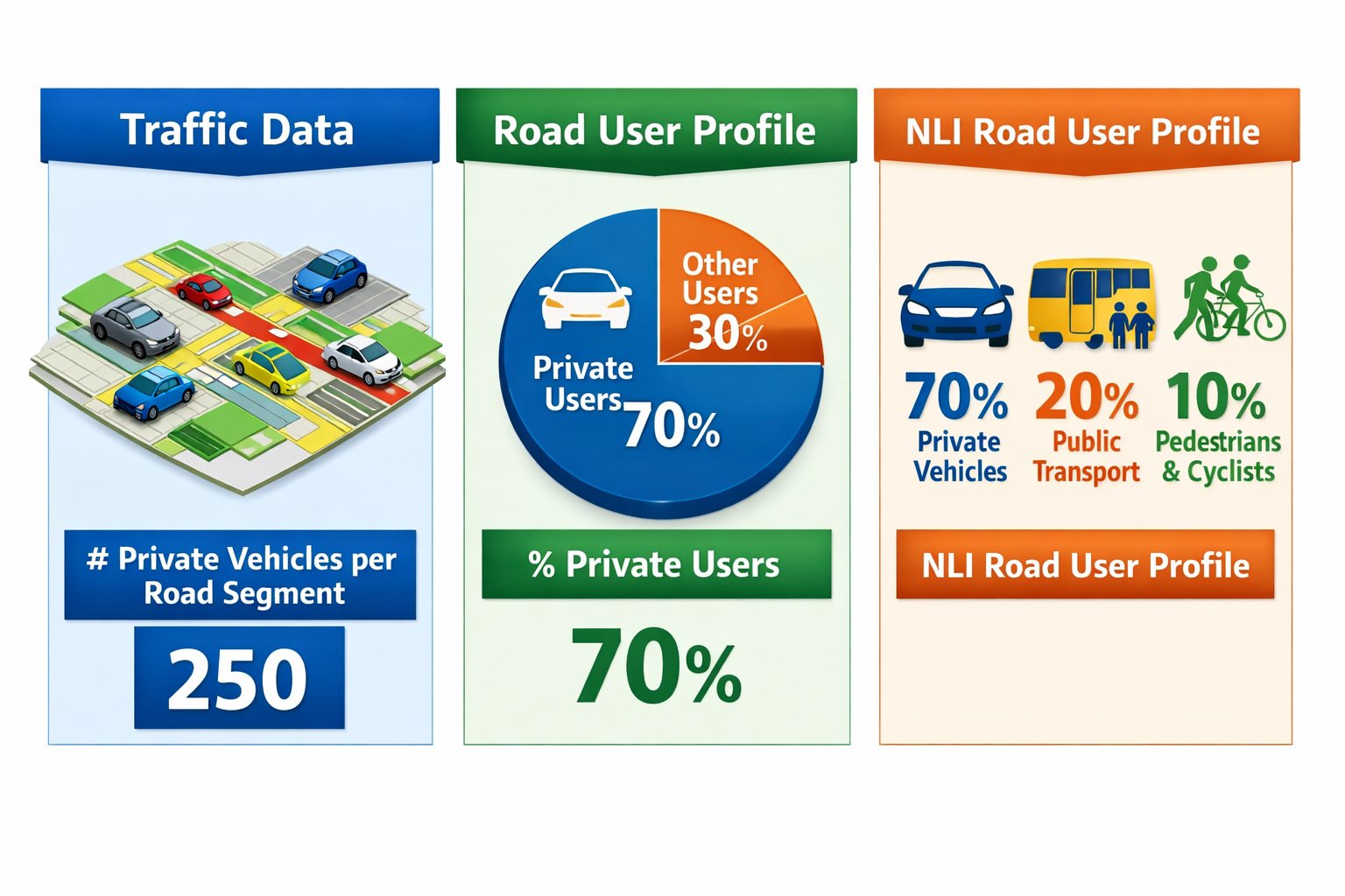
| Traffic Data | 11.1 | Road User Profile | Off-the-shelf |
| Mobile Data | 12.1 | Mobile Device Usage | Off-the-shelf |
| 12.2 | Daily Cellphone Usage Data | Off-the-shelf | |
| Building Datasets | 13.1 | Building Outlines (Footprints) | Off-the-shelf |
| 13.2 | Building Outlines – Additional Information | Off-the-shelf | |
| Renewable Energy Products | 14.1 | Solar Spatial Dataset | Off-the-shelf / On request |
| 14.2 | Wind-turbine Visual Impact Modelling | On request | |
| Risk Management | 15.1 | Urban Fire Risk Index (UFRI) | On request |
| 15.2 | Water Risk | On request | |
| 15.3 | Weather Risk | On request | |
| 15.4 | WeatherGuard | On request | |
| Radio Propagation & Line-of-sight Planning | 16.1 | Line-of-sight Planning | Off-the-shelf |
| 16.2 | 3D Building Models | On request | |
| 16.3 | 3D Clutter Data | On request | |
| 16.4 | Clutter Data | On request | |
| 16.5 | Height Data | On request | |
| SADC Data | 17.1 | SADC Towns / Settlements | Off-the-shelf (needs update) |
| 17.2 | SADC Mines Dataset | Off-the-shelf (needs update) | |
| Africa Data | 18.1 | Africa Dataset | On request |
| 18.2 | Sampling, Survey & Analysis of Africa Data | On request | |
| 18.3 | Africa Data Reports | On request | |
| 18.4 | Water Resource Monitoring (WaterSphere360) | On request | |
| 18.5 | Landscape Information Services (LandSphere360) | On request | |
| Mobile Functionalities | 19.1 | Mobile functionality | Available on demand |
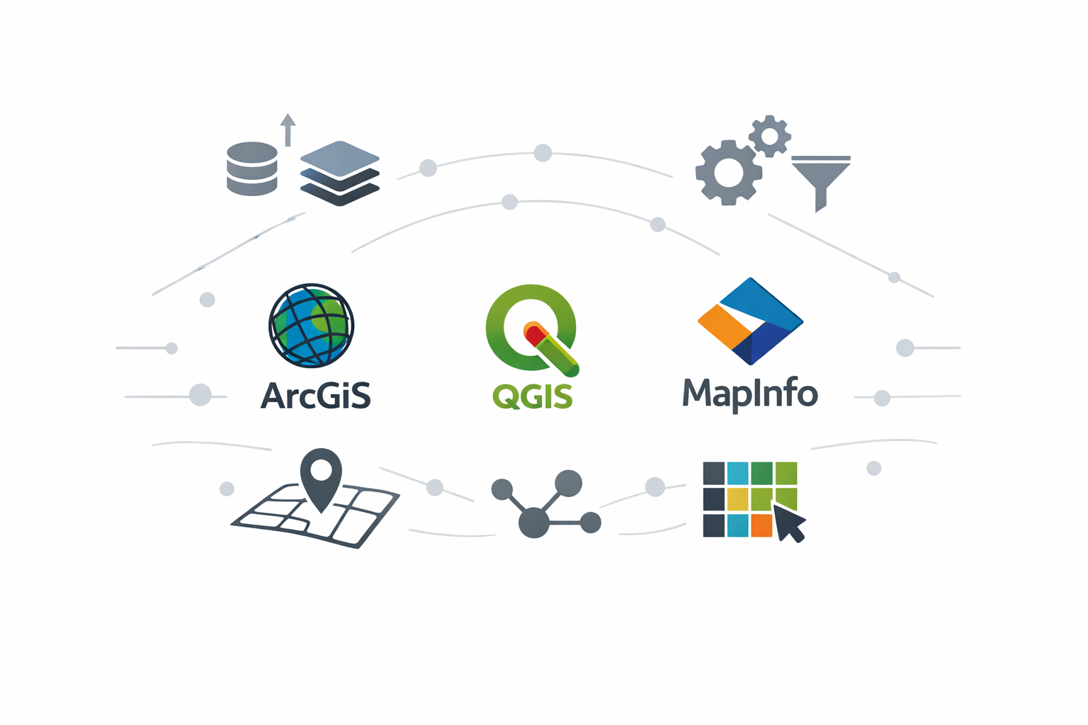
| Software Plugins | 20.1 | Plugins (ArcGIS, QGIS, MapInfo) | (Availability not specified) |
| API services | 21.1 | API services | (Availability not specified) |
| Agriculture Products | 22.1 | Agricultural Infrastructure | (Availability not specified) |
| 22.2 | Agriculture Population (Seasonal Workers) | (Availability not specified) | |
| 22.3 | Field Crop Distribution | (Availability not specified) | |
| 22.4 | Tree Crop Distribution | (Availability not specified) | |
| 22.5 | Crop Condition (Regional Crop Monitoring) | (Availability not specified) | |
| 22.6 | Soil Water Index | (Availability not specified) | |
| 22.7 | Fire Monitoring Dashboard | (Availability not specified) | |
| 22.8 | Crop Suitability | (Availability not specified) | |
| 22.9 | GeoFarmer® at 10m (Fields) | (Availability not specified) | |
| 22.10 | GeoFarmer® at 3m (Orchards) | (Availability not specified) | |
| Environmental Products & Services | 23.1 | Water Resource Monitoring (WaterSphere360) | (Availability not specified) |
| 23.2 | Water Quality Monitoring Service | (Availability not specified) | |
| 23.3 | Landscape Information Services (LandSphere360) | (Availability not specified) | |
| Mining Support Services | 24.1 | Mine Rehabilitation Audit Information Service | (Availability not specified) |
| 24.2 | Mine Tailings Storage Facility Monitoring Service | (Availability not specified) | |
| Web applications | 25.1 | Survey Sampler | (Availability not specified) |
| 25.2 | Geowizard | (Availability not specified) | |
| 25.3 | New Urban Development Index | (Availability not specified) | |
| 25.4 | Urban Settlement Detection | (Availability not specified) | |
| 25.5 | GeoFarmer® at 10m | (Availability not specified) | |
| 25.6 | GeoFarmer® at 3m | (Availability not specified) | |
| 25.7 | Crop Suitability | (Availability not specified) | |
| 25.8 | Line-of-sight Tool | (Availability not specified) | |
| 25.9 | Water Resource Monitoring (WaterSphere360) | (Availability not specified) |
Estimate Cost and Request a Quote
Complete the form and we’ll be in touch as soon as possible.
Step 1: Select Product
Step 2: Specify Area of Interest (AOI)
Step 3: Inspect Price Estimation
Product Cart
| AOI Name | Product | AOI Area | Price per km² | Processing Fee | Total Price (Excl. VAT) | Total Price (Incl. VAT) | Actions |
|---|
Summary
| Subtotal (Excl. VAT): | R 0.00 |
| VAT (15%): | R 0.00 |
| Grand Total (Incl. VAT): | R 0.00 |
For large orders (>5 000 km2), please contact us directly as such orders are often heavily discounted.