
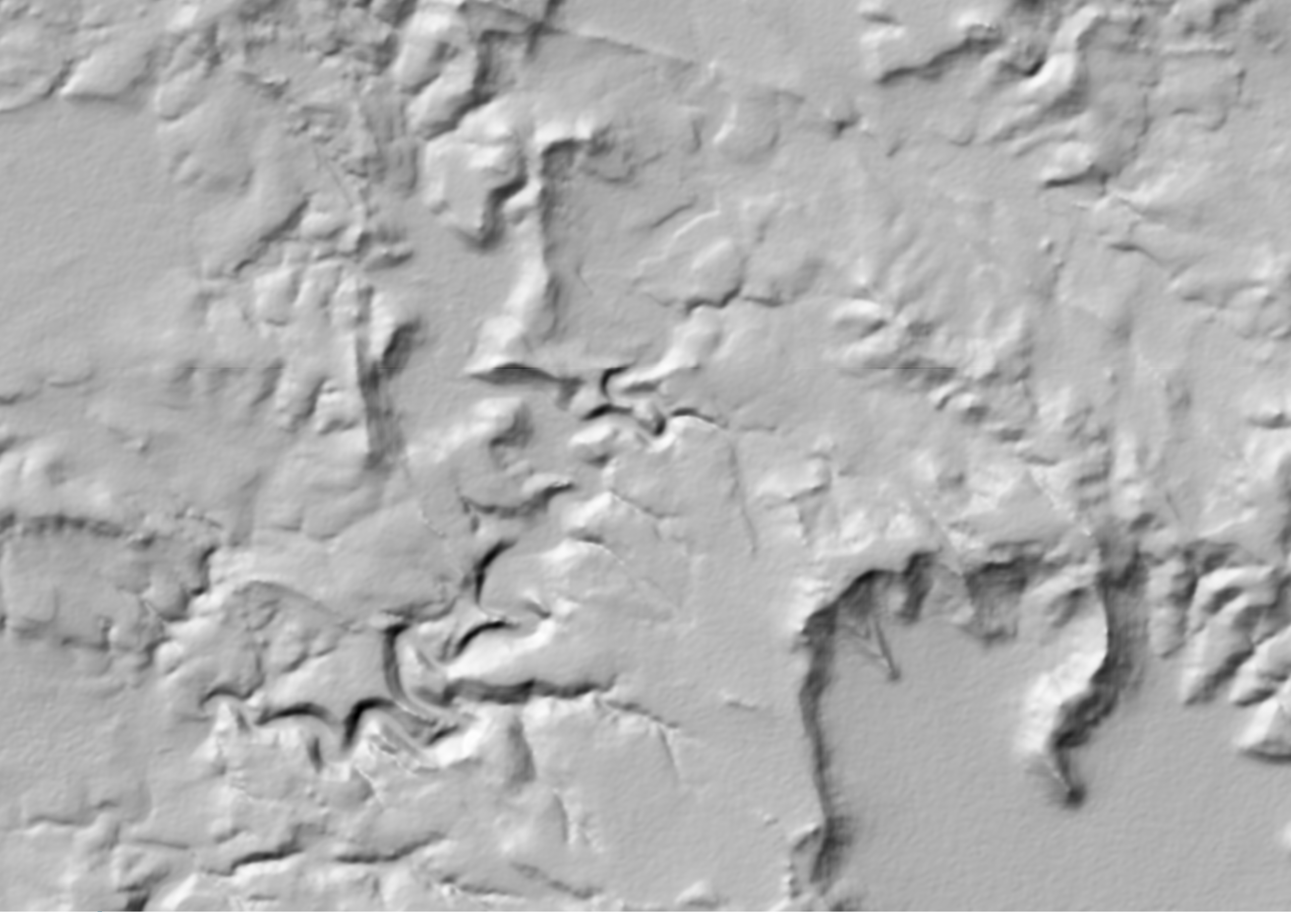
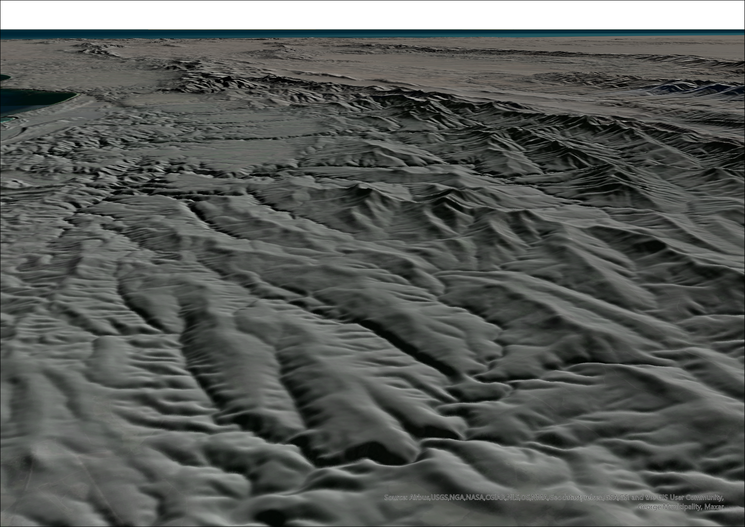
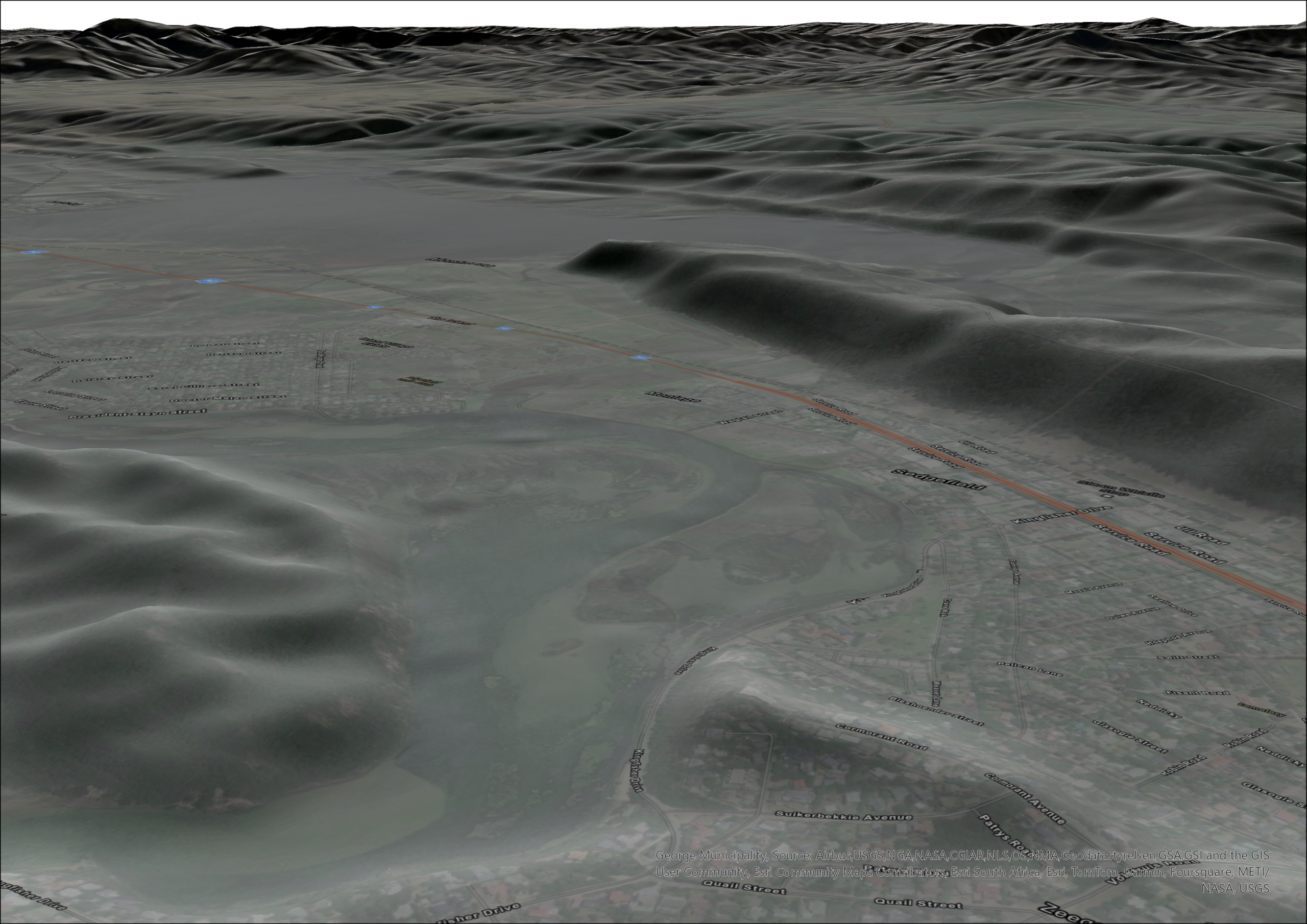
FUSEDEM is a hybrid, seamless composite Digital Elevation Model (DEM) produced at a 5-meter resolution. It represents a significant advancement in the development of national-scale elevation data. Designed to deliver the most accurate available elevation data for South Africa, FUSEDEM integrates high-resolution photogrammetric data with a spatially continuous medium-resolution baseline.
GeoSmart is responsible for the distribution of FUSEDEM and oversees its continual improvement.
Product Specification
| Resolution | 5 m |
| Vertical accuracy | 0.5 ~ 1.7m |
| Access | API Connection |
| Format | GeoTIFF |
| Current coverage | South Africa |
| Comprises of | Resampled 2m DEMSA2 L3 + 5m SUDEM |
National Coverage



| Dataset / Product | Resolution | Accuracy (Vertical / Horizontal / Error Stats) | Coverage / Type / Access |
| DEMSA2 (GeoSmart) | 2 m | ~0.5 m vertical, <1 m horizontal | South Africa · DSM (L1/L2), DTM (L3) · TIF/IMG/GDB |
| FUSEDEM (GeoSmart) | 5 m | 0.5–1.7 m vertical, 1–2 m horizontal | South Africa · DTM-like (fusion of SUDEM+ & DEMSA2 L3) · API |
| SUDEM+ (GeoSmart) | 5 m | ~1.7 m vertical, 1–3 m horizontal | South Africa · DEM (improved SUDEM) · TIF/API |
| SUDEM (SU & GeoSmart) | 5 m | ~3 m vertical, 1–3 m horizontal | South Africa · DEM · Older-model TIF/IMG/GDB |
| SRTM / NASADEM (Open Source) | ~30 m | ~6–10 m RMSE typical (±10–16 m LE90), ~30 m horiz. | Global (60°N–56°S) · DSM-like radar DEM · Free TIF |
| Bing Maps Elevation API (Open Source) | US: ~10 m; Global: ~90 m (remote ~900 m) | Source-dependent: US (NED ±2–3 m), Global (SRTM ±10–16 m) | Global · Mixed DSM/DTM (SRTM/NED) · API (deprecated 2028) |

IMPORTANT:
- SRTM and NASADEM are global, open-source Digital Elevation Models (DEMs) derived from radar. Both represent surface elevations that include terrain and features (i.e., DSM-like). NASADEM is an enhanced version of SRTM, with improved void filling and vertical accuracy.
- DEMSA2 L1 and L2 are provided as a digital surface models (DSM), not a digital terrain model (DTM). In other words, DEMSA2 L1 and L2 consists of the bare earth elevation and the heights of objects (e.g. trees, buildings) on the earth’s surface.
- DEMSA2 L3 is a digital terrain model (DTM), representing ground-only elevation, derived from DEMSA2 L2 surface model with buildings and vegetation removed.
- SUDEM is a national digital elevation model (DEM) of South Africa, closely representing terrain surface (DTM-like)
Pricing
| Order size | Price/unit |
|---|---|
| Per square km (R2120 processing fee is added for orders less than 400 km2) | R108.00 |
| Per 1:50 000 map sheet (e.g. 3318dd) | R27,000.00 |
| Per quarter degree square (e.g. 3318d) | R82,000.00 |
| National | R3,660,000.00 |
| Province | Price |
|---|---|
| Northern Cape | R2,460,000.00 |
| Eastern Cape | R1,260,000.00 |
| Free State | R1,090,000.00 |
| Western Cape | R1,080,000.00 |
| Limpopo | R1,050,000.00 |
| North West | R940,000.00 |
| KwaZulu-Natal | R840,000.00 |
| Mpumalanga | R680,000.00 |
| Gauteng | R210,000.00 |
*Note that 15% VAT will be added to the cost for South Africa based clients.
*R550 processing fee will be added if contours are requested.

Estimate Cost and Request a Quote
Complete the form and we’ll be in touch as soon as possible.
Step 1: Select Product
Step 2: Specify Area of Interest (AOI)
Supported formats: KML, KMZ, GeoJSON, ZIP (with shapefile components)
Step 3: Inspect Price Estimation
Product Cart
| AOI Name | Product | AOI Area | Price per km² | Processing Fee | Total Price (Excl. VAT) | Total Price (Incl. VAT) | Actions |
|---|
Summary
| Subtotal (Excl. VAT): | R 0.00 |
| VAT (15%): | R 0.00 |
| Grand Total (Incl. VAT): | R 0.00 |
The cost estimator is merely an indicator of cost and is by no means binding.
For large orders (>5 000 km2), please contact us directly as such orders are often heavily discounted.
For large orders (>5 000 km2), please contact us directly as such orders are often heavily discounted.