Comparison: DEM Products
In the past few years we’ve made significant progress in improving our Digital Elevation Model (DEM) products.
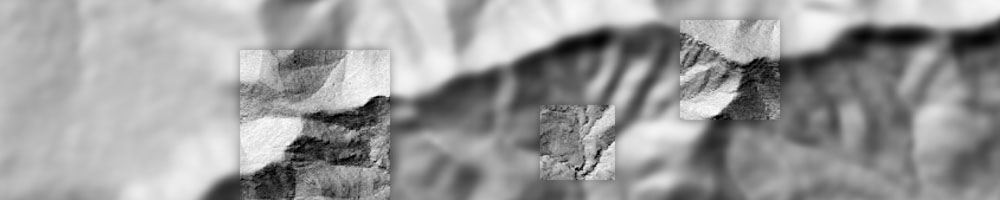
Pictured on the left (see below), we see the 5m resolution Stellenbosch University DEM (SUDEM). Released in 2013, it was interpolated from contours and fused with the 30m resolution Shuttle Radar Topography Mission (SRTM) DEM in order for the two data sources to complement one another.

Pictured on the right (see above), we see the 2m resolution DEM of South Africa (DEMSA). This was extracted from stereo aerial photographs.
Although the difference in spatial resolution is only 3m, the detail captured in the DEMSA is clearly much higher than in the SUDEM.